
After measurement and analysis automatically warns when the risk of slipperiness increases
SRS | Slipperiness Reporting System
When temperatures drop, the road manager’s alertness increases. Fortunately, there is no need to speculate about where and when it will become slippery: with SRS you know exactly!
Through the link between the advanced sensors in and around the road surface and your online dashboard, you and your suppliers have all the necessary information easily and in real-time available. By setting alarm limits and notifications, you also stay informed of changing situations and you have insight into (the progress of) your spreading actions with just a push on the button. We do everything we can to provide a complete and clear picture of the slipperiness of your road network. This way, based on the right information, resources and at the right time, road managers can make the decision to spread. Not only does this improve safety, but it also ensures efficiency in the consumption of resources and time.
Forecast data: clear at a glance
The SRS offers a lot of insight into the current measured values and forecast data from (external) weather agencies, both visually and numerically. If desired, Winter-Controle shows all types of meteorological data. This applies to the data from weather agencies with which you wish to collaborate, but also to freely available meteorological data. Would you like to see all measuring stations and their alarm status in one map or compare values? It’s all possible. Choose the display in a table, graph or map and download it as an Excel, .jpg or PDF file. Color codes quickly tell you where there is a chance of slipperiness, because data is data, but easier to read for some than for others! Visual presentations therefore provide clear insight into the values, connections and risks.
Notifications: alway informed quickly
Information and communication are moreimportant than ever, especially when it comes to issues such as anti-slip measures. Logically, we work with notifications: this is particularly important when you want to share important information with coordinators and road users. SRS offers the option of distributing any action or change by mobile phone or via social media such as X
SRS – the advantages
- Temperature development (drop) is quick and easy where removable
- Insight into the situation on site, with maps of all measuring stations and the current values of the various sensors
- Spreading at the right time, with the right resources
- Preventing unnecessary spreading actions
- Cost savings in resources and time
- Fast communication and notification through connection with social media
SRS – the advantages
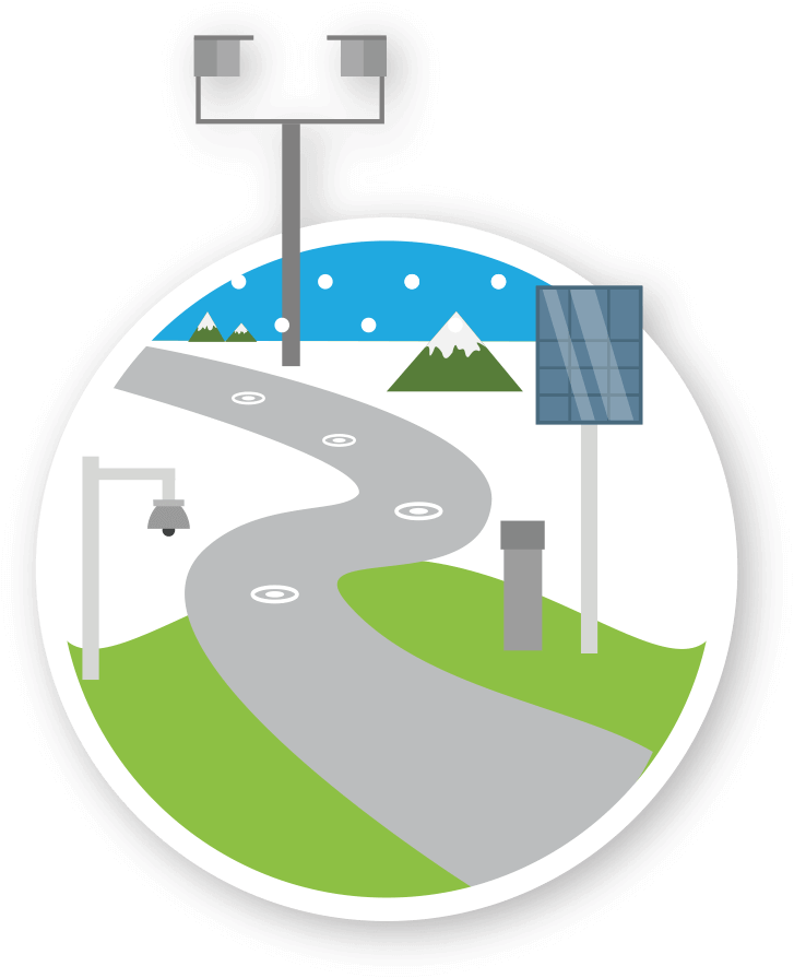
The measuring stations, sensors and their placement are of great importance in controlling slippery roads. Prior to the installation of the measuring station, the correct location is determined based on an infrared measurement of your road network. This makes it clear where the risk of slipperiness is greatest, such as bridges, viaducts, tunnels and shady environments within your road network. At this location we install sensors in every type of road surface, from asphalt to clinkers. These sensors measure the road surface temperature, road moisture, the temperature under the road surface and its conductivity and transmit this to the measuring station. It is also equipped with sensors that measure humidity and precipitation. Every five minutes the measuring station communicates with the BG Engineering servers, which process the measured values into alarm information. If desired, an external weather agency provides customized forecast data and advice. The result: a complete picture of the road surface situation in the SRS!
Additional options: road surface camera or windmill
Do you have a measuring station from another supplier? We can also process the data and display it in our Winter-Control web application. For more insight we also offer expansion options. It’s possible to equip the measuring station with a fog meter and/or road surface camera so the road can be viewed. A cost-effective solution for more insight is the connection of multiple wireless sensor clusters to the measuring station. Connected to the power supply as standard, measuring stations are equipped with a battery, so the station continues to function in the event of a power failure. If a connection to the power grid is not desired or possible, installing a solar panel or windmill is an alternative.